Digital maps, navigation-map data and map creation or updating for vehicles and mobility.
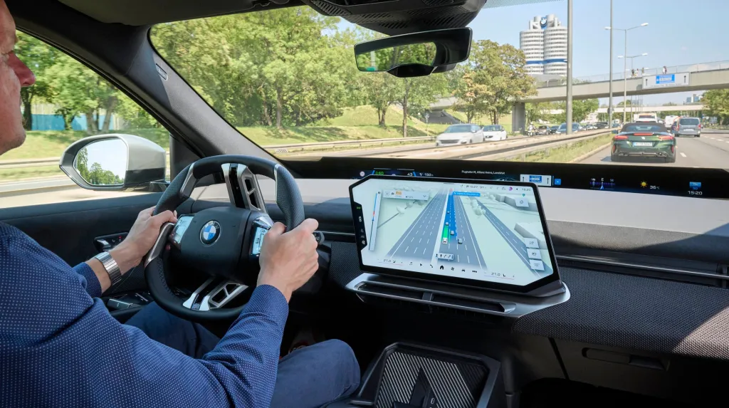

SenSen secures US patent for AI urban positioning system
SenSen Networks has secured a US patent for Environmental Mapping Technology, which uses vehicle camera imagery and AI to correct GPS errors in dense urban areas. The system supports accurate positioning for SenFORCE mobile enforcement vehicles.

Google makes large-vehicle routing tools generally available in US
Google has made Large Vehicle Routing generally available in the US through its Routes API, Route Optimisation API and Navigation SDK. The tools use vehicle dimensions, weight, axle count and hazardous-goods classifications to generate truck-specific routes and ETAs.

Here and Esri partner to add AI-ready geospatial analytics to ArcGIS
Here Technologies and Esri agreed a three-year partnership to integrate HERE map, traffic and mobility data with Esri’s ArcGIS, creating AI-ready visualisation and analytics tools for live and historical location data. Target sectors include transport, logistics, automotive and public-sector planning.
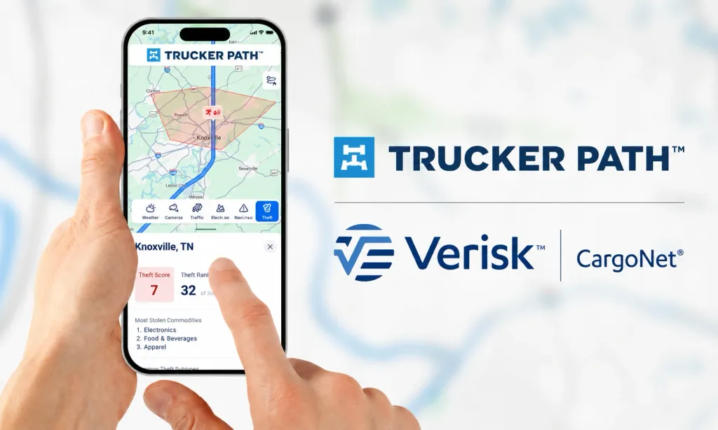
Trucker Path integrates CargoNet theft intelligence into truck navigation
Trucker Path has integrated Verisk CargoNet’s cargo-theft intelligence into its commercial navigation platform. The US service overlays county-level risk ratings, stolen-commodity trends and theft methods to help truck drivers and fleets make safer routing decisions.
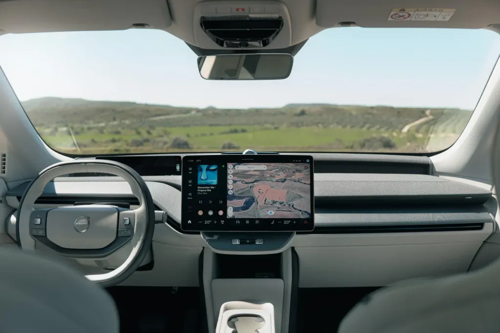
Volvo and Google preview Gemini-powered in-car navigation features
Volvo Cars and Google previewed Gemini-powered camera interpretation and parking-sign assistance, alongside 3D Immersive Navigation for future Volvo models including the EX60. The features combine AI, mapping and Volvo’s software-defined vehicle architecture.
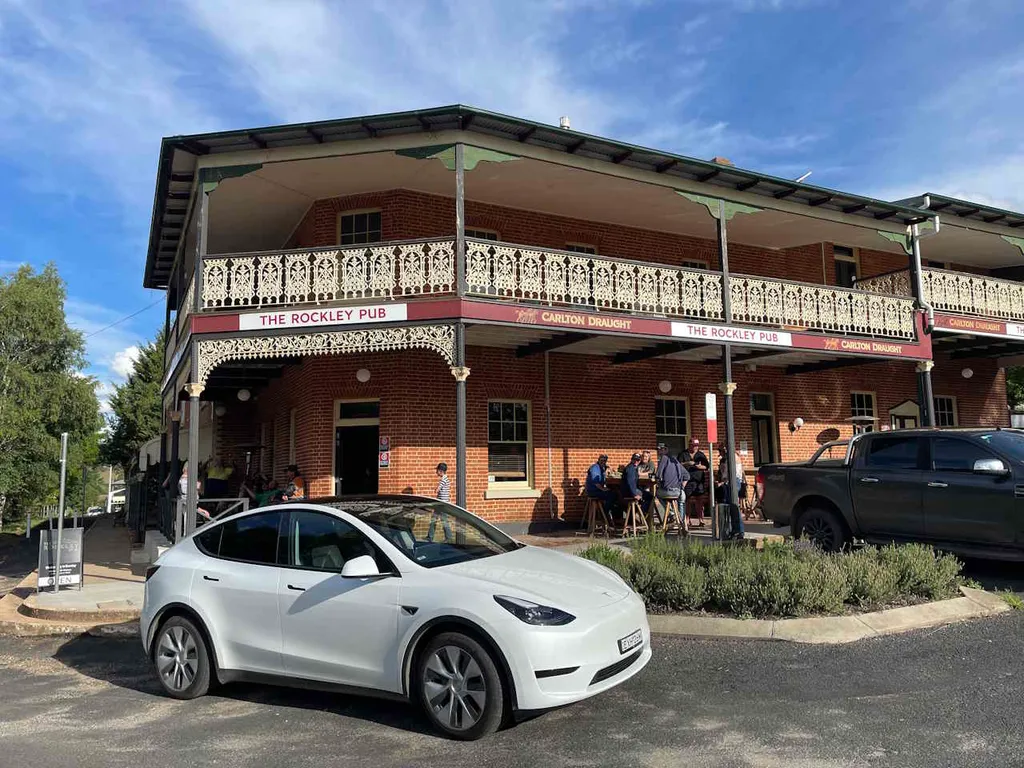
NSW launches interactive map for electric-vehicle drivers
New South Wales government has launched EVenturemap, an interactive, free map that has integrated electric-vehicle charger locations with nearby tourism and amenities information to support regional travel planning and invite charging operators to add locations.
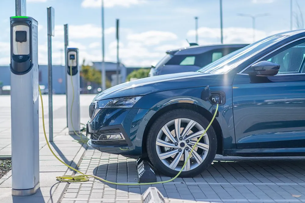
LadeSofort maps 15,000 ad-hoc EV charging stations
German startup LadeSofort has launched a free app and website mapping about 15,000 ad-hoc EV charging stations across Germany and neighbouring countries, and has integrated real-time availability, pricing, route planning and fee alerts.

Kapsch TrafficCom selects TomTom Traffic data
Kapsch TrafficCom has selected TomTom Traffic to integrate floating car data and services into its EcoTrafiX platform, and has stated this has reduced customisation needs and accelerated deployment for public authorities and road operators.

P3 to develop middleware standardising mapping data
P3 Digital Services has launched a development programme and has begun creating middleware to translate high‑definition map data from Android Automotive OS and Google VMS into the ADASIS protocol to enable vendor‑agnostic ADAS integration.
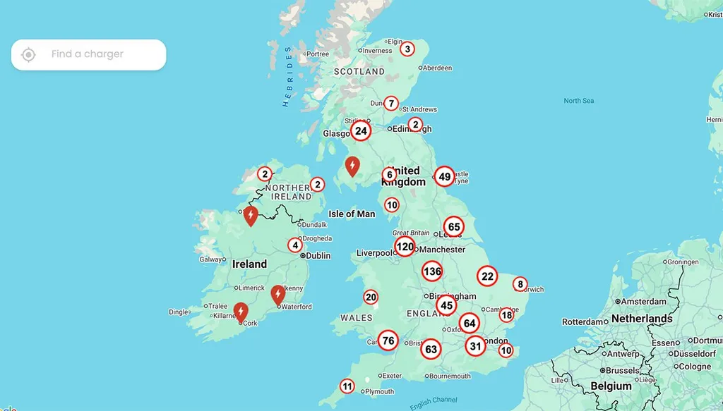
InstaVolt launches EV charger locator features
InstaVolt has launched interactive mapping and site-amenity search tools on its UK and international websites to help drivers locate chargers, and has announced planned site listings; it has reported over 3,000 chargers live or in development and renewable-powered operation.

Visteon and TomTom launch on-device AI navigation
Visteon and TomTom have introduced an on-device AI conversational navigation system combining Visteon’s cognitoAI and TomTom maps, enabling offline operation, real-time traffic, EV charging suggestions and enhanced data privacy.

Here launches AI portfolio for software-defined vehicles
Here Technologies announced an AI-driven portfolio at CES 2026 for software-defined vehicles, comprising navigation, ADAS tools, development accelerators and partnerships for OEMs and fleets.
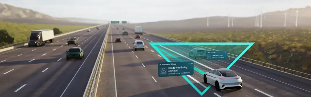
HERE and Qualcomm demonstrate AI map intelligence at CES
At CES 2026, HERE and Qualcomm will showcase AI-driven map data integrated with Snapdragon Ride Pilot to enhance ADAS, extend vehicle foresight, and support global regulatory compliance.
Mapbox launches 3D lane visualisation in Navigation SDK
Mapbox has introduced 3D lanes in its Navigation SDK, providing lane-level geometry and models for overpasses and tunnels; available in private preview and targeted at automotive and fleet navigation.
HERE and Amazon launch AI conversational navigation
HERE Technologies and Amazon will offer vehicle manufacturers branded, AI conversational navigation combining HERE mapping and Alexa Custom Assistant, supporting cloud and edge deployment, with debut scheduled at CES 2026.
Mappls introduces multimodal public transport routes
Mappls integrated metro, rail and bus routes into its app across major Indian cities, enabling journey planning and offering phased Android support.

ABAX selects HERE as default map provider
ABAX will adopt HERE Technologies for mapping, geocoding, routing, speed‑limit data and route matching across its SaaS services, with HERE as the default map for new customers.
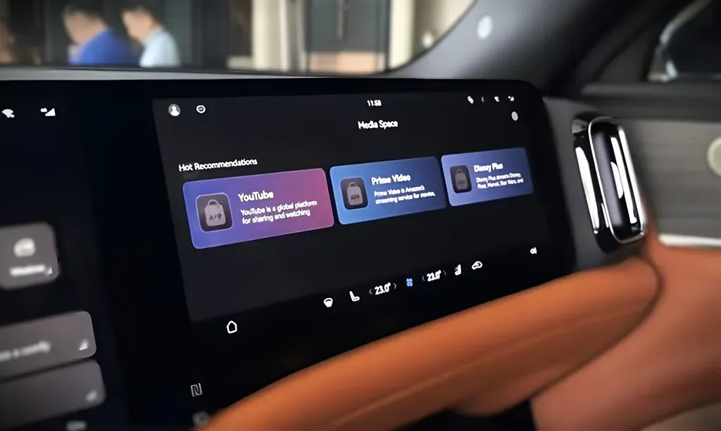
Huawei adapts Aito M9 infotainment system for international markets
Images reveal an international version of Huawei’s Aito M9 infotainment system with overseas map providers, localised English-language interfaces, global apps and adaptations to the Huawei ADS driver-assistance suite.
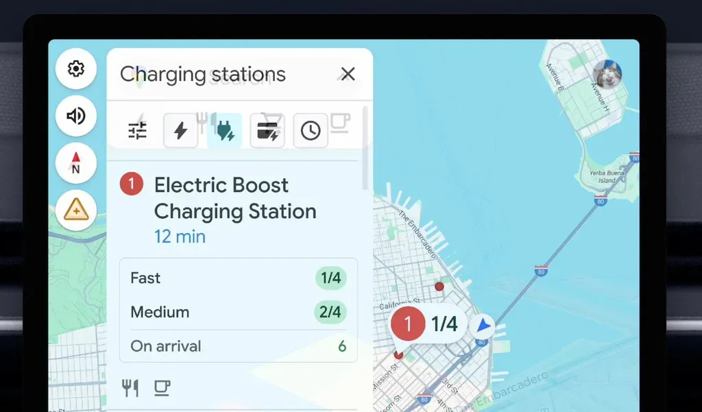
Google Maps adds EV charger availability predictions
Google Maps will predict EV charger availability for hundreds of thousands of stations, using live network data; feature rolls out on Android Auto and Google-built vehicles to improve charging planning.

Ponsse launches digital emission and map tools
Ponsse has added Emissions Report and Map Tools to PONSSE Manager Pro, enabling CO2 reporting and map-based production monitoring for harvesters and forwarders across machine, site and company levels.

TomTom and Aimsun partner on transport simulation
TomTom and Aimsun will integrate mapping data with transport simulation to deliver ready-to-calibrate models within five working days, reducing manual setup and supporting scalable urban modelling.
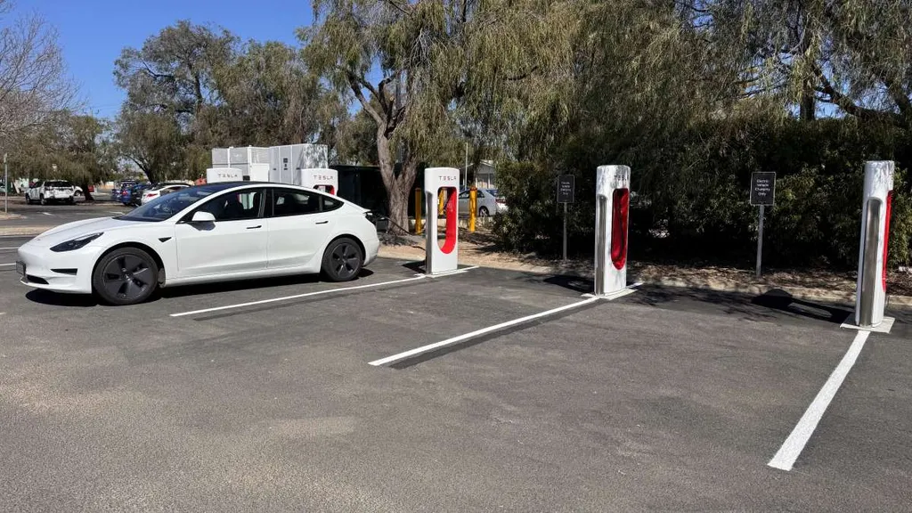
Tesla shares Supercharger availability with Google Maps
Google Maps now displays live Tesla Supercharger availability, improving visibility for EV drivers; however, it does not indicate non-Tesla access, and Tesla's integration is later than other networks.
Samsara launches commercial navigation for US trucking
Samsara introduced a Commercial Navigation solution for US trucking, integrating commercial-vehicle routing, hours-of-service and dispatch in one app to support route optimisation and regulatory compliance.
TomTom and GeoInt Enhance Fleet Telematics Partnership in Africa
TomTom and GeoInt extend their collaboration to improve fleet telematics in Africa, integrating advanced mapping and traffic data to support real-time tracking and route optimisation.
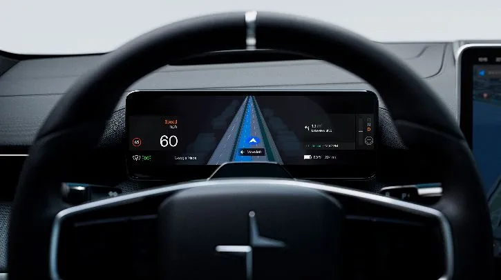
Polestar Integrates Google Maps Live Lane Guidance in Polestar 4
Polestar is among the first OEMs to integrate Google Maps’ live lane guidance into the Polestar 4, enhancing navigation through AI-driven lane detection and over-the-air updates.

Dublin Pilots AI Digital Twin to Enhance Active Travel
Dublin is piloting an AI digital twin integrating sensor data and geospatial mapping to support active travel and road safety, aiming to inform infrastructure planning and promote sustainable urban mobility.
HERE and Amap Collaborate on AI Navigation for Chinese Vehicles
HERE Technologies and Amap form a strategic partnership to co-develop AI-driven navigation and digital cockpit solutions aimed at advancing software-defined vehicles for Chinese automotive brands.
May Mobility and Grab to Launch Autonomous Taxis in Southeast Asia
May Mobility and Grab have formed a partnership to integrate autonomous vehicle technology into Grab's services, aiming to deploy self-driving taxis across Southeast Asian urban markets.
Genesys to Supply Navigation and ADAS Maps to Tata Motors
Genesys International will provide navigation and ADAS maps to Tata Motors for six years, supporting its software-defined vehicle platforms and advancing driver-assistance technology in India.

Trimble unveils AI and mapping updates for infrastructure asset management
Trimble unveiled forthcoming AI, GIS mapping, asset-tracking and pavement-management capabilities for its Unity software suite at Innovate 2025. The updates target infrastructure owners and road authorities, with general availability expected in late 2025 and the AI assistant in 2026.
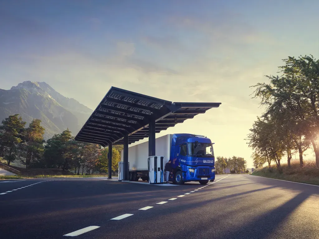
Renault Trucks Publishes Map of European Public Charging Hubs
Renault Trucks has released an open-access map detailing nearly 500 public charging hubs for electric trucks across Europe to support the expansion of low-carbon freight transport.

Snowball launches step-free access map for London rail networks
Accessibility app Snowball has launched an open-data map covering step-free access across London Underground and Overground stations, with access levels, opening times, interchanges and journey-planning information for disabled users.
Trimble launches positioning systems for mobile mapping
Trimble has announced Applanix POS LVX+ and POS AVX RTX positioning portfolios for land-based and airborne mobile mapping, with integrated real-time and post-processed correction services. The systems are due to launch in the first quarter of 2026.
TomTom Extends Traffic Services Deal with Hyundai AutoEver
TomTom and Hyundai AutoEver have agreed a multi-year deal to provide live traffic and speed camera alerts for Hyundai, Kia, and Genesis vehicles across Europe, enhancing navigation and driver safety.
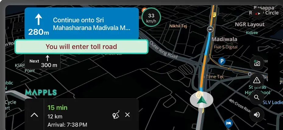
MapmyIndia's Mappls App Launches AI Traffic Timers and Toll Savings
MapmyIndia's Mappls app introduces AI-powered traffic signal timers and toll cost-saving features, enhancing commute efficiency and travel cost transparency for Indian road users.

UK Launches Public Beta of Digital Traffic Regulation Service
The UK Department for Transport has initiated the Public Beta of its Digital Traffic Regulation Orders Service, centralizing traffic rule management to enhance access and support future mobility technologies.
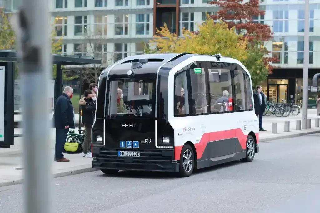
IRF Advances Operational Framework for Automated Driving in Europe
The International Road Federation promotes resilient frameworks and standardised technologies for expanding connected and automated mobility across Europe, aiming to enhance safety and cross-border integration.
Radaro and HERE Technologies Advance Last-Mile Logistics Solutions
Radaro and HERE Technologies collaborate to enhance last-mile delivery through real-time logistics intelligence and dynamic route optimisation across more than 60 countries.

UK Funds Six Satellite Technology Projects for Net Zero
The UK Space Agency invests £1.5m in six projects using satellite technology and AI to support climate change mitigation, transport decarbonisation, and accessibility improvements.
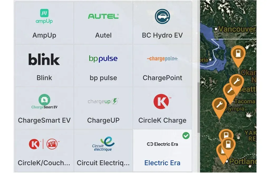
Electric Era Expands EV Fast Charger Network Visibility
Electric Era has launched a network enabling its DC fast chargers to be found on OEM and third-party platforms, enhancing accessibility for retail customers and supporting operational reliability.
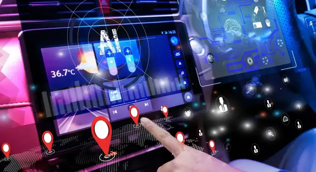
University of Surrey Develops GPS-Free AI for Urban Navigation
The University of Surrey has created an AI system, PEnG, that enhances urban localisation accuracy using visual data, offering a potential navigation solution for autonomous vehicles without reliance on GPS.

PTV Group Unveils Automated Microsimulation Models at ITS Congress
PTV Group launched automated microsimulation models using high-precision 3D map data to expedite traffic engineering projects and virtual automotive testing across multiple international markets.
HERE Mapping Integrated into Samsara's Connected Operations Platform
HERE Technologies partners with Samsara to incorporate mapping and geolocation services into Samsara’s platform, enhancing operational efficiency and real-time visibility in physical operations.

Alibaba’s Amap Launches AI-Native Mobility Agent 'Teacher Xiaogao'
Alibaba's Amap app introduces 'Teacher Xiaogao', an AI-native mobility agent using the Qwen large-language model to enhance navigation with conversational, context-aware travel assistance.
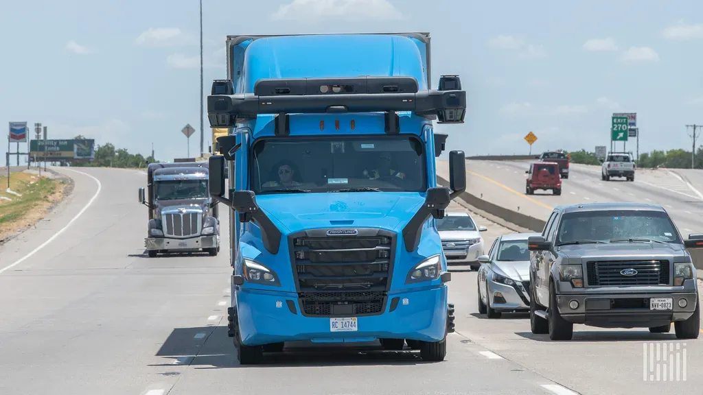
US DOT seeks data for nationwide autonomous trucks
The US Department of Transportation issued an RFI seeking input on data, research and standards to support nationwide deployment of automated vehicles including commercial trucks.
Streetwave wins funding to map mobile coverage with South Yorkshire bin lorries
Streetwave is using sensor-equipped bin lorries and street sweepers to measure mobile signal strength, speeds and reliability across South Yorkshire. The year-long, publicly funded project will produce an online coverage map and postcode checker.
HERE and EROAD Launch Vehicle-Aware Navigation App for ANZ Freight
HERE Technologies and EROAD have introduced a vehicle-aware navigation app targeting the ANZ freight sector, enhancing fleet safety, efficiency, and driver support amid industry challenges.

EVpin expands EV charging site-selection and utilisation data platform
EVpin’s platform helps charging providers assess sites, design layouts and create 3D renderings. Its newly launched EVpin Max adds enterprise-level station utilisation and revenue data, while power-capacity coverage has expanded across additional US regions.